Haversine Distance Calculation using Optimized Pandas Operations
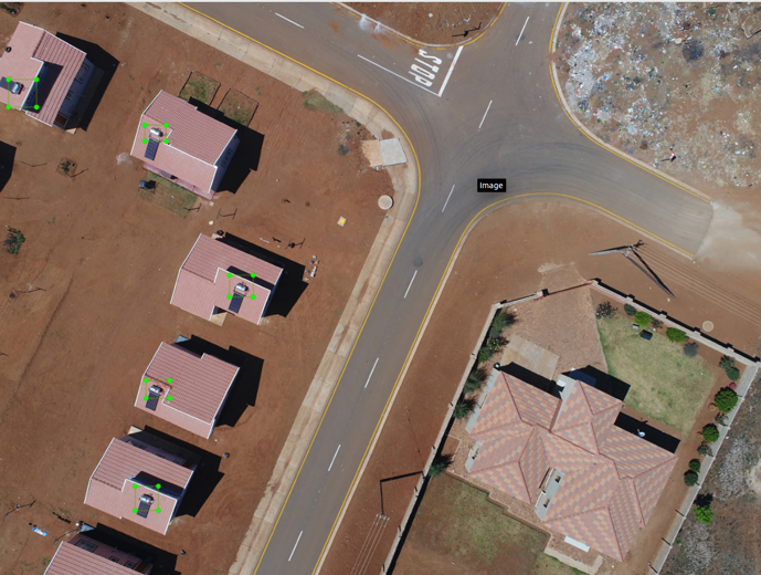
Retrieving geospatial points of interest from aerial drone footages based on Haversine distance

A simple pandas project demonstrating calculation of ROIs from aerial footages captured by surveillance drones.
